
About Marvin Jenkins & Associates
We are a multi-discipline surveying, engineering and consulting firm located in Salem, Illinois. Specializing in numerous aspects of Land surveying and civil engineering has enabled us to assist railroads, environmental agencies, other engineering firms, real estate agencies, title agencies, attorneys, municipalities, public and private companies as well as the individual landowner, providing them with solutions to a broad range of issues.
Our Company Profile
We are an independent company with over 48 years of experience in delivering high quality solutions for every project. Using the latest GPS, Robots and Autocad equipment and software, we are able to conquer any size of project and still maintain efficiency, precision and promptness.
Our work experience covers:
-
Thousands of boundary surveys, site studies, general topographic surveys, commercial developments, multi-family housing developments, final As-built surveys, and ALTA/ACSM surveys in Illinois and Missouri.
-
Hundreds of Site Designs for Hospitals, Railroads, Public and Private Housing developments, Commercial Developments, etc.
-
2000 miles of oil, gas and water pipelines
-
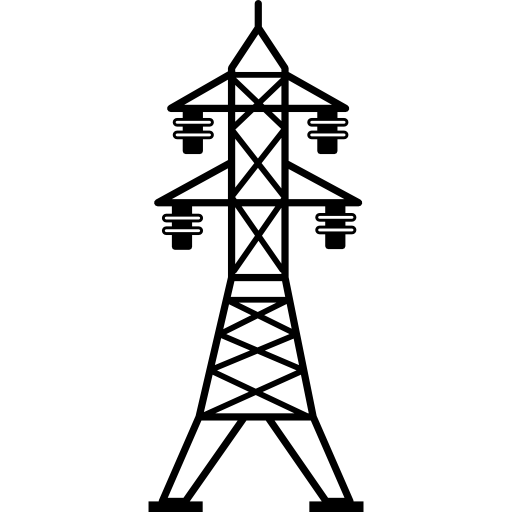
1300 miles of power lines
-
200 miles of Interstate highway
-
100 miles of fiber optic cables
-
We have worked in 13 different railroad yards, including intermodal and automotive facility yards, railroad derailments and hazardous material spills
-
Multiple Right of Way surveys
-
Recently we finished a complete Water Restoration for the City of Kinmundy, Il. Along with the design we were able to acquire 2.8 million dollars grant/loan federal funding for the City.
-
Grant writing with the USDA/RD and CDAP
We have worked in a variety of different fields including: railroad, oil field, construction staking, drainage studies and general topographic drawings for clients at various locations in Illinois, Iowa, Louisiana, Tennessee, Kentucky, Missouri, and Mississippi along with aerial photogrammetry controlled by our firm with the use of our GPS system.
Pipeline Work

Powerline Work
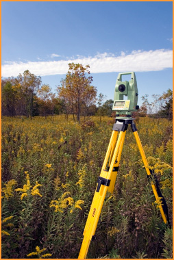
Land Surveying

Our Services Offered
Our services include, but are not limited to:
-
Land Surveying
-
Land Boundary Disputes
-
Topographic Surveys
-
ALTA/ACSM Surveys
-
As-Built Surveys
-
FEMA Flood Surveys
-
Preparation of Legal Descriptions
-
Easements
-
Rights of way surveys
-
Construction Stakeout/Layout
-
Mapping and GIS
-
Aerial Photogrammitry controlled by GPS
-
Oil Well Staking
Engineering
-
Storm and Sanitary Sewer Design
-
Water line design- both rural and residential
-
Site Design
-
Land Development and Planning
-
Sub-Division Design
-
Grant Assistance
-
Environmental Studies
IPLS #1824
